
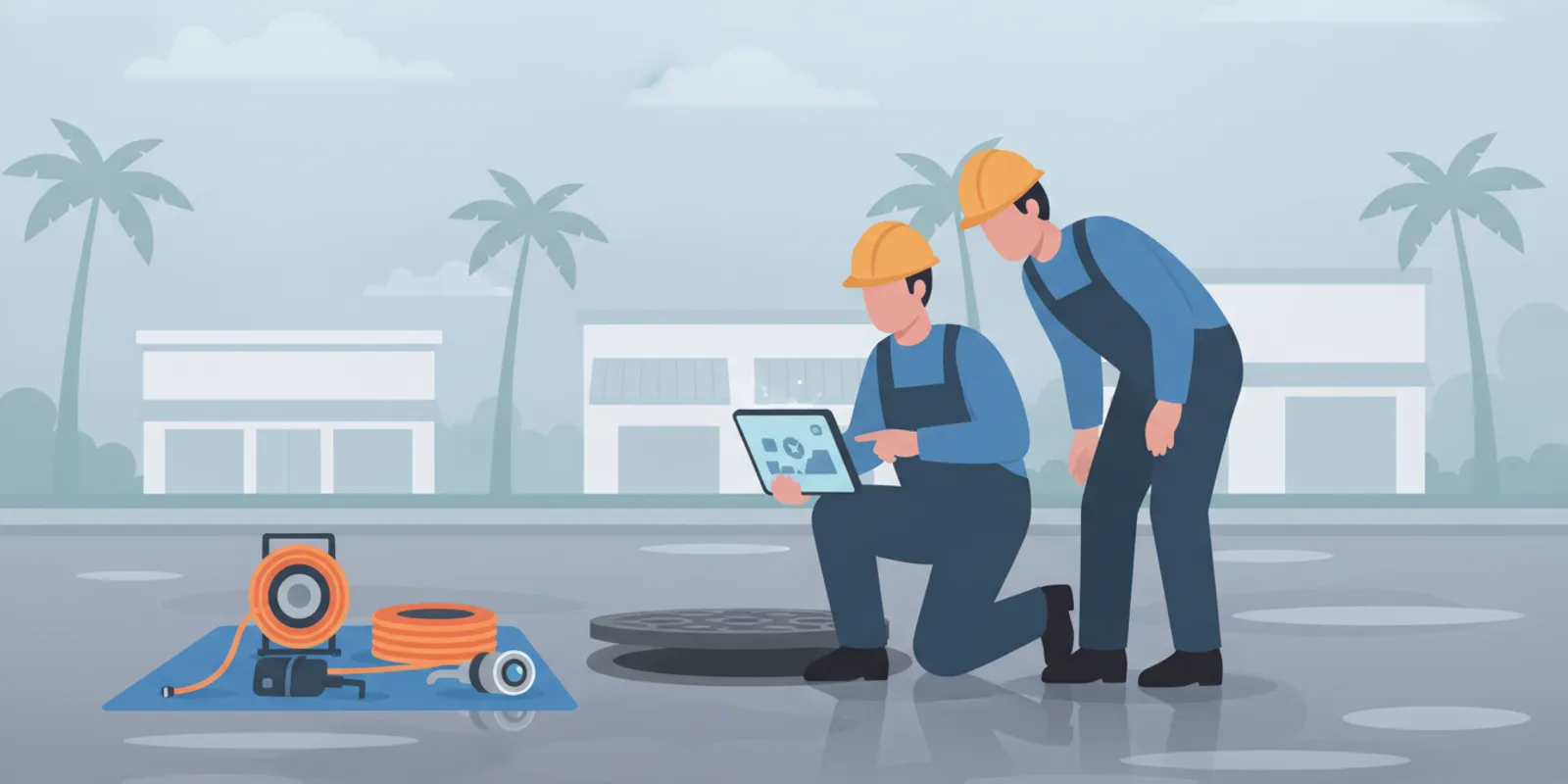
A storm drain video survey for flood planning can help property owners and facility teams understand what is happening inside accessible drainage pipes before deciding what to inspect, clean, repair, or monitor. It is one source of condition information, not a forecast of where or when flooding will occur. A useful plan starts by connecting observations in the pipe to the site’s drainage layout, surface conditions, and the questions your team needs answered.
Talk with Pipe Surgeons about a storm drain inspection
What Can a Storm Drain Video Survey for Flood Planning Tell You?
A video survey uses a camera to view the interior of an accessible pipe or drain. Depending on the access, pipe layout, and equipment used, the inspection may reveal visible obstructions, sediment, roots, displaced joints, cracks, or other changes in the pipe interior. It can also help a property team understand which sections were inspected and where access or visibility limited the view.
The camera view is a record of conditions at the time of inspection. It does not, by itself, establish how much rainfall a site can handle, measure the performance of every inlet or outfall, or determine the extent of flood risk. The findings are most useful when paired with site plans, drainage records, maintenance history, and observations from the property during rain.
For flood planning, the practical question is not simply, “Is there a problem in the pipe?” It is, “What do we know about this part of the drainage system, what remains uncertain, and which next step is proportionate?” A camera inspection may help answer the first part. Mapping and engineering review may be needed for the rest.
Pipe Surgeons provides specialized inspection and pipe services for residential, commercial, industrial, and municipal properties. The company’s camera inspection services can help document accessible pipe conditions, while the storm drain service information explains the related service area.
Why Include a Storm Drain Video Survey for Flood Planning?
Flood planning is broader than pipe maintenance. Surface grading, inlet placement, downstream restrictions, water levels, rainfall, and the condition of connected infrastructure can all matter. A video survey can contribute one piece of evidence: an interior view of inspected sections. That may help teams avoid treating every ponding event as the same problem.
For example, water collecting in one low area could prompt questions about an inlet, a nearby pipe, a downstream connection, or the way runoff moves across the property. A video survey may help establish whether a visible pipe issue is present in the inspected area. If the camera shows no obvious issue, that does not prove the whole drainage network is clear or show why water collected at the surface. It helps narrow the next investigation, rather than closing every question.
The U.S. Geological Survey describes hydraulic modeling and flood-inundation mapping as tools that support flood preparedness, response, recovery, mitigation, and planning. A pipe video survey serves a different role: it documents visible interior conditions in the portions reached by the camera. These methods can complement one another, but they are not interchangeable. See the USGS overview of floods, droughts, and flood-inundation mapping for context on broader flood-planning tools.
Before scheduling, write down the planning decision the inspection should inform. Are you organizing maintenance before the rainy season? Investigating repeated ponding at a particular inlet? Documenting a condition for a facility record? A defined question makes it easier to select the right access points and understand what the resulting video can and cannot establish.
It also helps to distinguish a recurring symptom from a one-time observation. A facilities team might record that water reached a walkway after a particular storm, while noting that the duration and exact extent are uncertain. That record can guide where to look, but it should not be treated as proof that a specific pipe caused the event. Pairing the date, location, photos, and maintenance history with the camera findings gives later reviewers more context and reduces guesswork.
Which Drainage Areas Should You Ask to Inspect?
Start with the area where water has caused concern, then work outward through the connected drainage route where records and access allow. A site plan, marked-up aerial image, or hand-drawn sketch can help identify inlets, cleanouts, access structures, pipe direction, and known discharge points. The goal is to make the requested inspection area clear, not to assume every connection is already known.
- Document the location of surface symptoms. Note where water ponds, how long it remains, whether the location changes, and what was happening during the event. Photos taken from a safe place can help compare events.
- Mark nearby drainage structures. Identify visible inlets, access points, and any structures that may connect to the affected area. Label each location consistently on the sketch.
- Gather available records. Existing plans, past inspection reports, maintenance notes, and repair records can help the inspection team understand the layout and avoid confusing one section with another.
- Note access constraints. Record locked areas, parked equipment, landscaping, traffic, standing water, or other conditions that could affect access. Do not enter a confined space or open a structure unless qualified and authorized.
- Prioritize the question, not just the nearest pipe. A camera route should be selected based on what needs to be understood and which accessible sections connect to that question.
For a multi-building property, sort structures by drainage area rather than making one undifferentiated list. For instance, label the inlet near the loading area separately from the parking-lot inlet, then note whether the site plan shows them joining before an access point. This gives the inspection team a clearer sequence and makes it easier to relate a recorded section to the place where water was noticed. If you do not know which structures connect, mark that uncertainty instead of guessing.

How Should You Prepare for a Useful Survey?
Preparation helps turn a camera visit into information that can be used later. A short pre-inspection discussion can confirm the objective, locations, access, and the form of documentation your team expects. Share the known symptoms without deciding in advance what caused them.
If the issue may involve a pipe serving multiple areas, provide that context. A building manager, homeowner, or municipal contact may have different records and responsibilities for connected infrastructure. The inspection scope should make clear which portion of the system is being evaluated and who is authorizing the work.
Before the visit, choose one person to answer access questions and one person to receive the records. Make sure the receiving contact knows the site's location labels and can preserve the video with the matching report. If the property has separate maintenance vendors or ownership boundaries, identify those boundaries in advance. These small administrative steps can prevent a useful observation from becoming an unlabeled file that no one can tie back to the drainage plan.
What Does the Survey Process Usually Involve?
Exact steps depend on the site and the pipe, but a well-defined inspection generally follows a straightforward sequence. The team reviews the objective and known layout, identifies safe and usable access, introduces the camera into the selected section, and records the view as it moves through the pipe. The camera’s progress and visible conditions should be associated with identifiable access points whenever possible.
Some sections may not be passable or may not produce a clear view. A bend, obstruction, water, debris, pipe size, or access limitation can affect how far the camera travels and what it can show. A report should not imply that an unseen section was inspected. Ask that limits be noted, especially when the survey is being used to plan later work or compare conditions over time.
For a broader overview of how pipe cameras are used, see Pipe Surgeons’ drain and sewer camera inspection information. For a suspected blockage or buildup, the team may also discuss whether a separate drain cleaning service is appropriate. Cleaning and inspection have different purposes; cleaning should not be assumed to be part of a survey unless the scope says so.
During the visit, a property representative can help reconcile field labels with the site plan, but should avoid directing the inspection toward a conclusion. If an access point is missing from the drawing, record its observed location and ask how it will be referenced in the report. If visibility becomes limited, a clear note about where and why the view ended is more useful for planning than an unsupported assumption about what lies beyond it.
How Do You Turn Video Findings Into Planning Priorities?
After the survey, organize findings by location, observation, confidence, and recommended next action. Do not treat every visible irregularity as an emergency or assume a normal-looking view guarantees future performance. Priorities should reflect the condition documented, the importance of the area, the history of the issue, and the risks of delaying follow-up.
| Survey outcome | What it can mean | Practical next step |
|---|---|---|
| Visible obstruction or sediment | Material is present in the inspected view; the video alone may not establish its full extent or cause. | Ask whether cleaning or another inspection is appropriate, then document the location and reassess if the original concern continues. |
| Visible pipe defect or change | A condition is apparent in the recorded section and may warrant review. | Request a location reference, relevant video or still image, and an explanation of possible follow-up options. |
| No obvious concern in the view | No clear issue was visible in the portion reached under inspection conditions. | Keep the record, check other parts of the drainage path or surface factors, and avoid treating this as proof that all flood concerns are resolved. |
| Camera could not pass or view was limited | The inspected record has a boundary or visibility limitation. | Ask what prevented access and whether another access point, cleaning, or a different evaluation could answer the remaining question. |
A simple tracking sheet can make the record actionable. Include a structure or location ID, date, inspection direction, start and end points, conditions observed, limitations, related photos, and next action with an owner and due date. Keep the original video and report with site records, and use consistent location labels for later comparisons.
For conditions that may require repair, a video observation is a starting point for evaluating options, not a repair specification by itself. A specialist can discuss whether a targeted repair, pipe lining, pipe bursting, or another approach merits assessment based on the pipe, access, and verified condition. Pipe Surgeons outlines its trenchless pipe repair approaches; the appropriate solution depends on the specific line and findings.
One practical way to prioritize is to separate items into three lists: immediate clarification, scheduled maintenance review, and continued observation. An unclear location reference may need clarification before anyone can make a decision. A documented condition in a frequently affected area may deserve timely technical review. A normal view with no reported symptom may simply become a baseline for future comparison. Assign an owner and a target review date to each item, and record why the priority was chosen. This approach keeps the video connected to a decision without claiming more than the inspection established.
How Does a Video Survey Fit With Other Flood-Planning Work?
Think of the survey as one layer in a larger information set. A drainage condition record can be compared with site observations, maintenance logs, available utility or drainage plans, and any flood modeling or mapping used by the property team. Each source has a different purpose. The camera records an interior view; surface observations show where water moves or collects; mapping can clarify routes; modeling and inundation products address broader water behavior.
For local planning, record the date and circumstances of each observed event, but do not infer a specific rainfall threshold or recurrence interval without an appropriate source. Share relevant information with the responsible property manager, engineer, municipality, or other qualified decision-maker as needed. A pipe service provider can describe the pipe findings and potential service options; broader flood-risk determinations may call for additional expertise.
Where an inspection identifies a potential pipe issue, compare the location with the affected area and the direction of flow if known. A defect in a connected line may deserve attention, but location alone does not prove it caused a particular flooding event. Keep the distinction between evidence and conclusion clear in planning documents.
Property teams looking for related drain and pipe services can review the Pipe Surgeons service overview and its service area information to determine whether the company’s specialty services fit their needs.
For example, a property team's record might show that water pooled at a low point while a camera inspection documented an obstruction in an accessible segment nearby. Those facts can justify asking whether that pipe section needs attention and whether the drainage route should be reviewed further. They do not establish that the obstruction alone caused the ponding, or that addressing it will eliminate every flood concern. Keeping both the observations and the open questions in the file supports a more careful decision by the appropriate specialists.
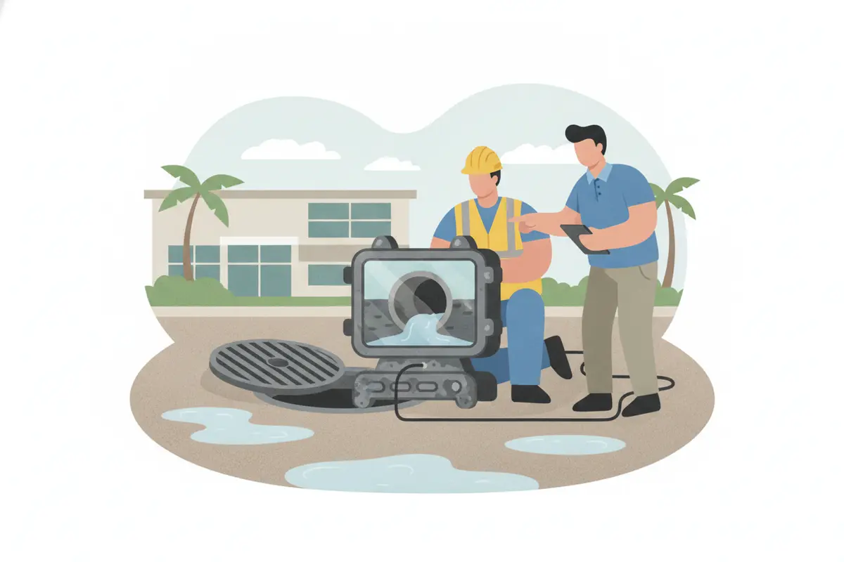
Request a storm drain video survey discussion
Frequently Asked Questions
Can a video survey predict whether a property will flood?
No. A video survey documents visible conditions in the pipe sections reached by the camera. It does not predict rainfall, establish flood probability, or assess every part of a drainage system. Use it as one input alongside site records and appropriate mapping or engineering work.
Does a survey cover every storm drain on a property?
Not automatically. Coverage depends on the agreed scope, available access, pipe layout, and conditions that affect camera travel or visibility. Confirm which structures and pipe sections are included and ask that any inaccessible or unseen areas be clearly identified in the records.
Should storm drains be cleaned before they are inspected?
That depends on the inspection objective and the conditions at the site. Existing debris may itself be useful to document, while cleaning may be considered if it is needed to improve access or evaluate the pipe. Ask the service provider to explain the sequence and confirm which work is included rather than assuming cleaning is part of the survey.
What should a property team keep after the survey?
Keep the report, video or still images provided, date, location identifiers, scope, limitations, and any recommended follow-up. Add the records to the drainage maintenance file so they can be compared with later inspections or site observations.
Schedule a Storm Drain Survey Discussion
A focused video survey can make pipe-condition information easier to document and use, as long as the scope and limitations are clear. Begin with the area of concern, share available plans and records, and decide how the findings will support your next planning or maintenance decision.
Contact Pipe Surgeons to discuss your storm drain inspection
With clear locations, a useful record, and appropriate follow-up, property teams can make better-informed drainage decisions without treating a camera view as a complete flood-risk assessment.